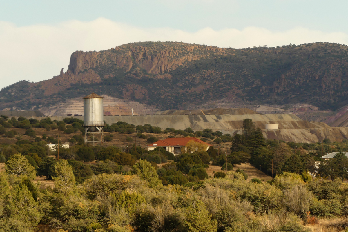
Fort Bayard was established in 1866 to protect miners and settlers in southwestern New Mexico from Apache attacks, and was staffed primarily by African American “Buffalo Soldiers”. Abandoned as a garrison, it it became the U.S. Army’s first hospital dedicated to treating tuberculosis patients, later operating as a VA hospital. In 1964, the federal government sold the property to the State of New Mexico, which operated it as a long-term care facility until 2010 when operations moved to a new building nearby. The site was designated a National Historic Landmark District in 2004.
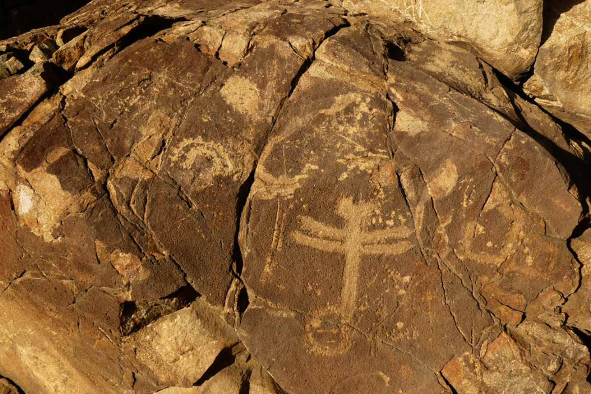
Today, Fort Bayard is at the heart of an extensive network of trails (over 100 miles) that fan out into the nearby Gila National Forest. The Fort Bayard trail system is very well known and well-documented, on websites such Trail Forks and the MTB Project. Noteworthy trails include the famous Dragonfly Loop and The Big Champion Tree.
For more information about the history of Fort Bayard, visit https://www.historicfortbayard.org/
Favorite Trails in the Fort Bayard Trail System
Arenas Valley Loop
Distance: 3.87 miles
Ascent: 202′
Trailhead Elevation: 6000′
Directions: From Silver City, travel east on US 180 for 5.5 miles. Turn left. The trailhead is one mile north on Arenas Valley Road.
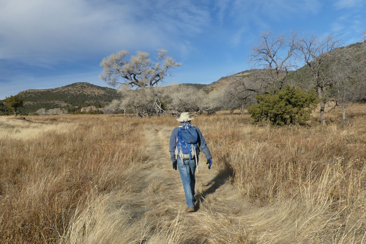
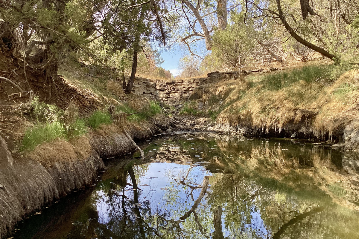
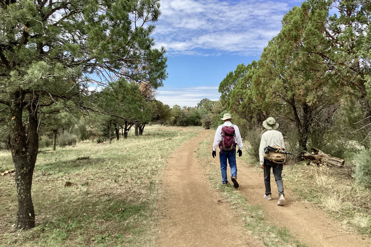
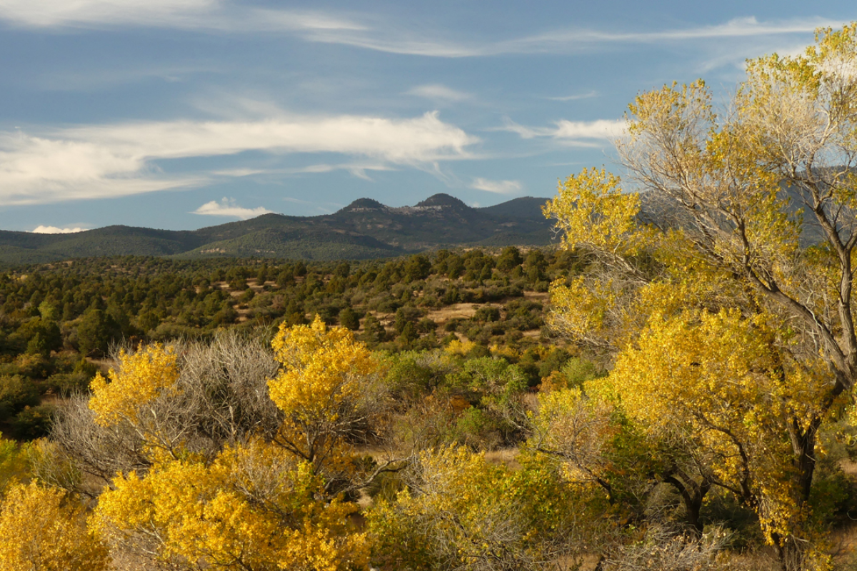
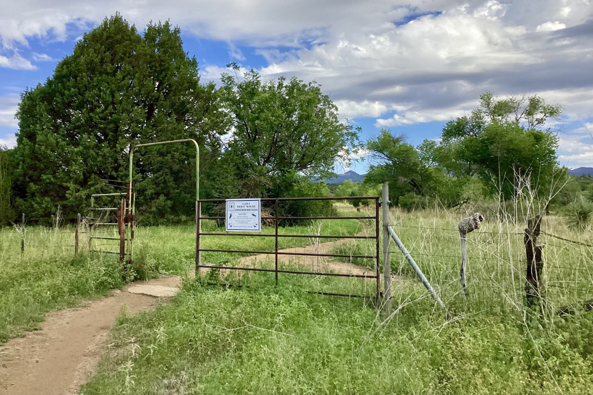
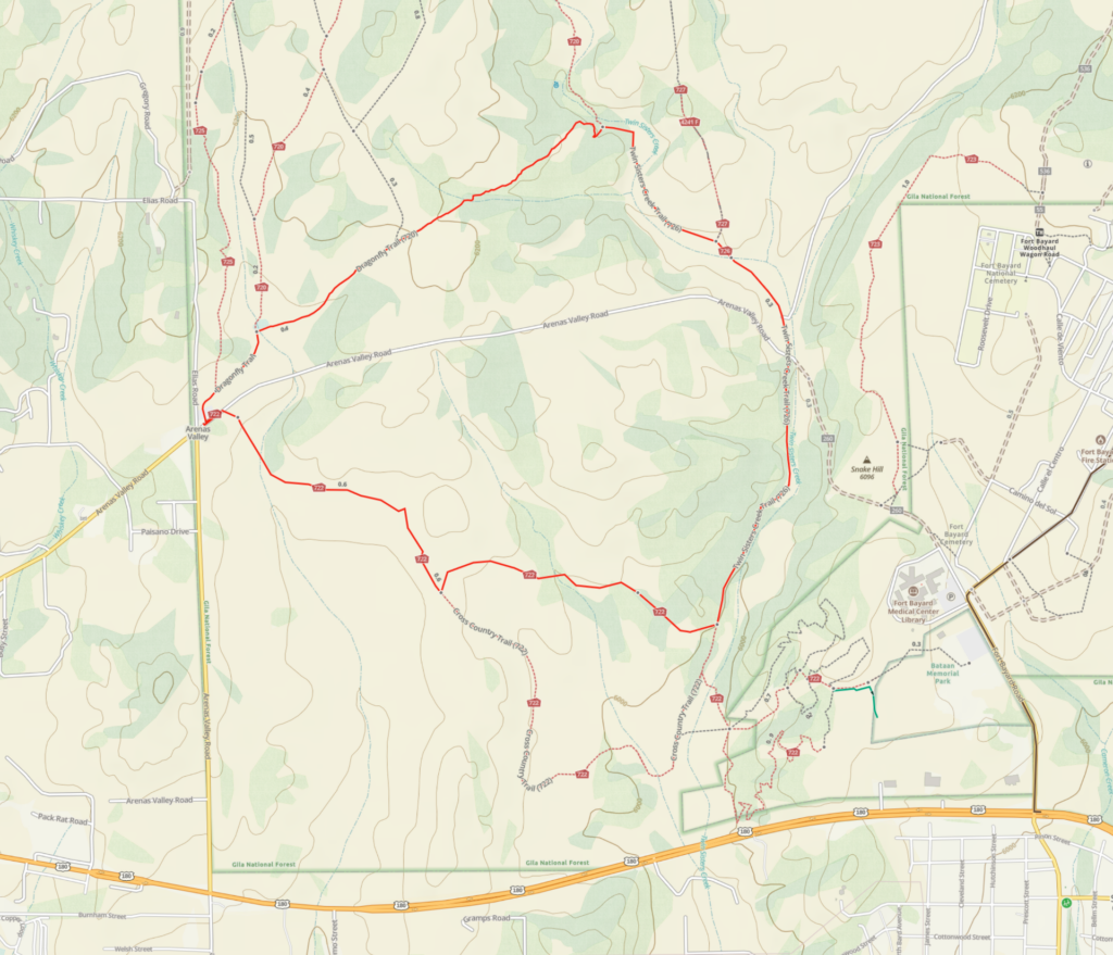
From the trailhead on Arenas Valley Road, this pleasant loop travels counterclockwise through rolling open meadows and mixed pinon juniper forest, where there are fine views of historic Fort Bayard in the distance. Stay left at the fork at .72 miles. At 1.43 miles, the trail drops into a well-forested path that runs along Twin Sisters Creek. Follow Twin Sisters Creek north, crossing the remains of the original highway 180 at 2.07 miles. Continue north through open country, staying to the left after your cross Twin Sisters Creek. At 2.64 miles, turn left and make a quick side trip to pay your respects to the famous Dragonfly petroglyph panel. Follow the Dragonfly Trail back to the trailhead at 3.87 miles.
Area Map
Woodhaul Wagon Road Loop
Distance: 6.05 miles
Ascent: 694′
Trailhead Elevation: 6439′
Directions: From Silver City, travel east on US 180 for 7.2 miles. Turn left. Go past Fort Bayard and continue 4.3 miles on a gravel road. Turn left for trailhead parking.
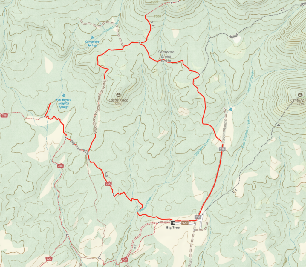
This easy loops starts at the Fort Bayard Administrative Site and climbs into the foothills of the Pinos Altos Range, with short side trails to visit the Big Tree and the Woodhaul Wagon Ruts.
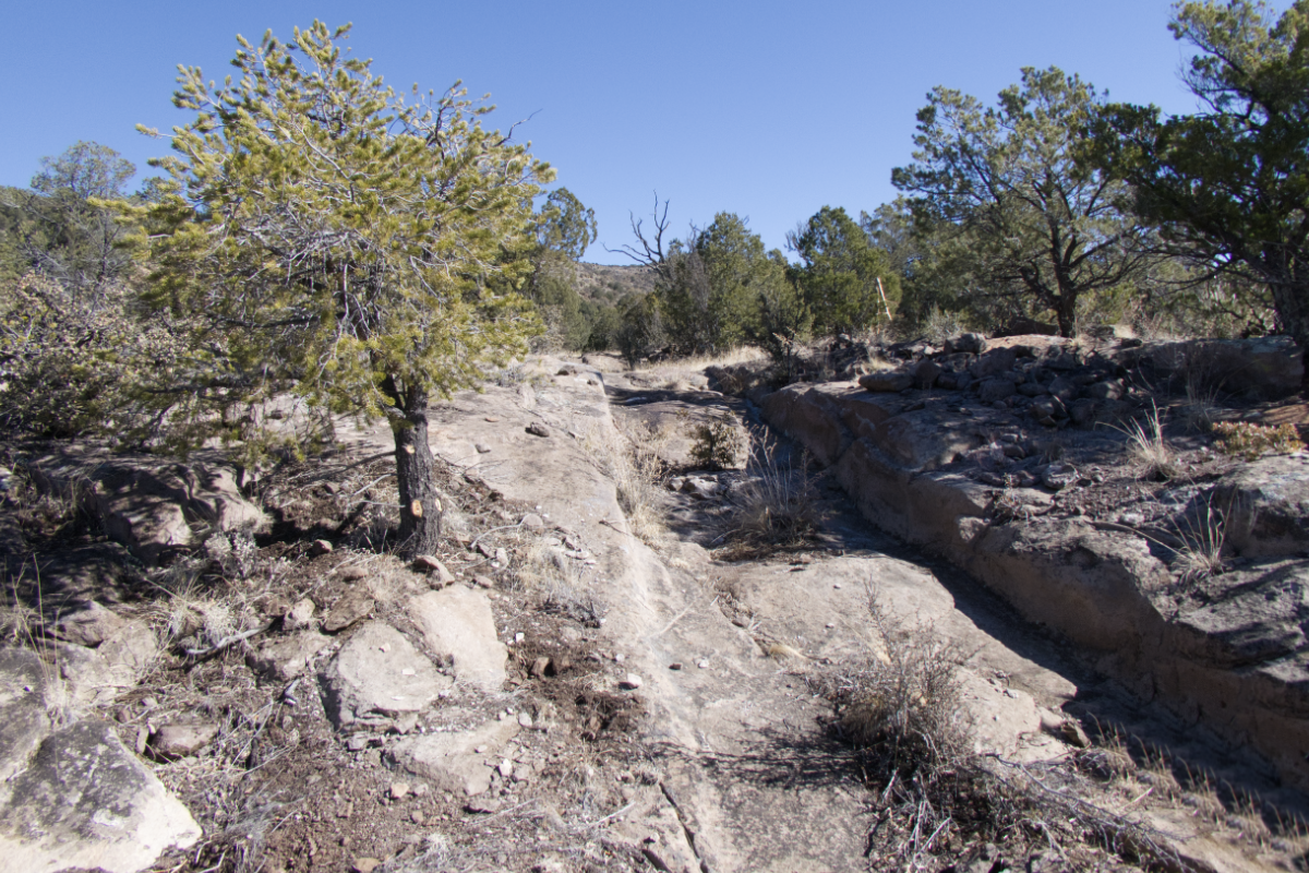
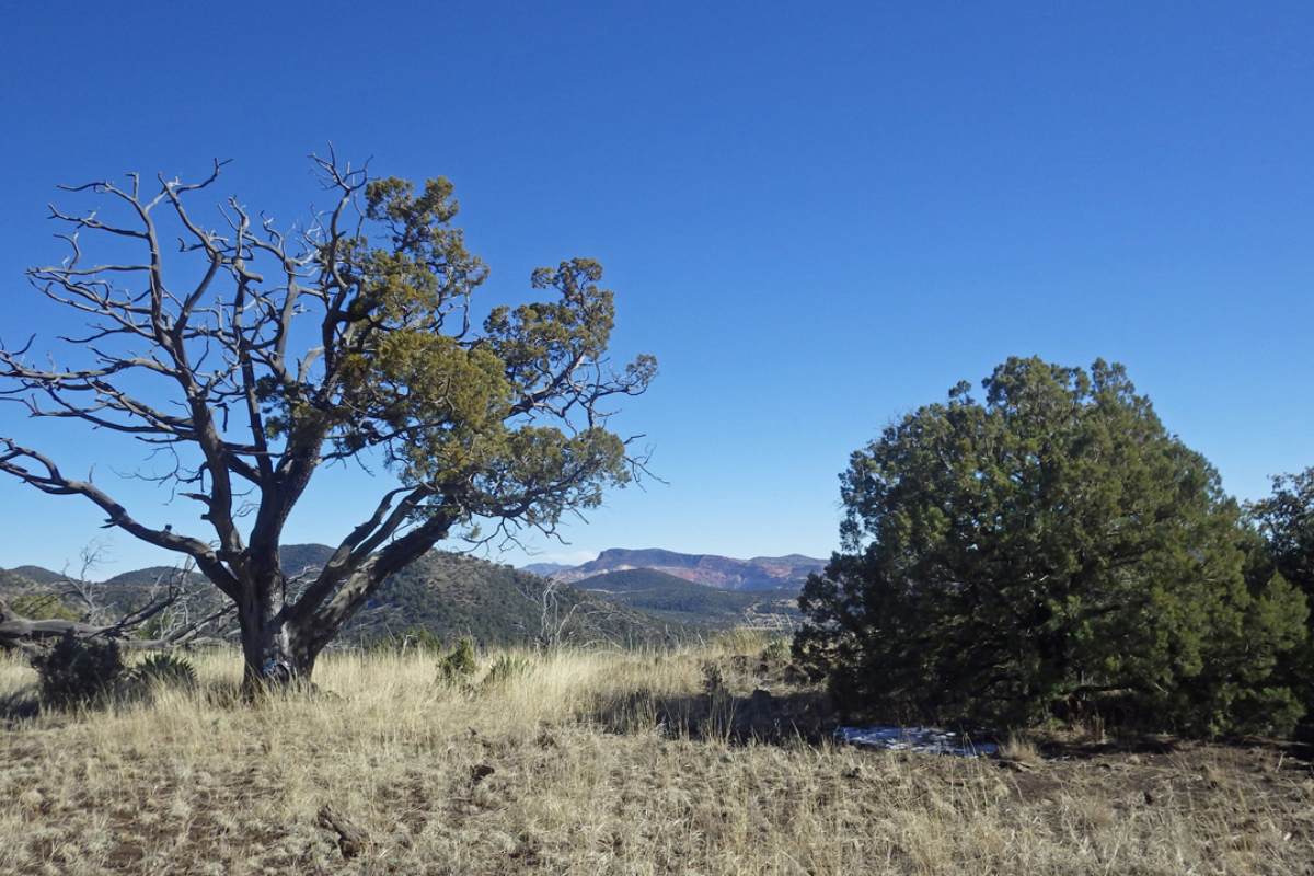
For the counterclockwise route, head west on Big Tree Trail #755. In 1.07 miles, stay left on Big Tree Trail for .64 miles to visit Big Tree, the second largest alligator juniper in the United States, with a 18 feet 4 inches and a height of 63 feet. Retrace your steps to the junction and take a left on Woodhaul Wagon Road. At. 2.5 miles, reach the junction with Cameron Creek Basin Trail. Stay left and in about 1/4 miles you will encounter the Woodhaul Wagon Ruts. These ruts were carved over many years by wagons hauling wood to Fort Bayard from the pine forest in the Pinos Altos Range. Follow Cameron Creek Trail 1.25 miles to the junction, and turn right on Stevens Ranch Trail. There are great views to the south, all the way to Cook’s Peak and the Florida Mountains as you descend .82 past the Admin site and back to the trailhead.
For a much longer day hike or backpack, you can continue on Woodhaul Road high into the Pinos Altos Range. In three miles, the trail splits. The left fork joins the CDT between Black Peak and Twin Sister, while the right fork continues all the way over the mountain to Allie Canyon.
Area Map