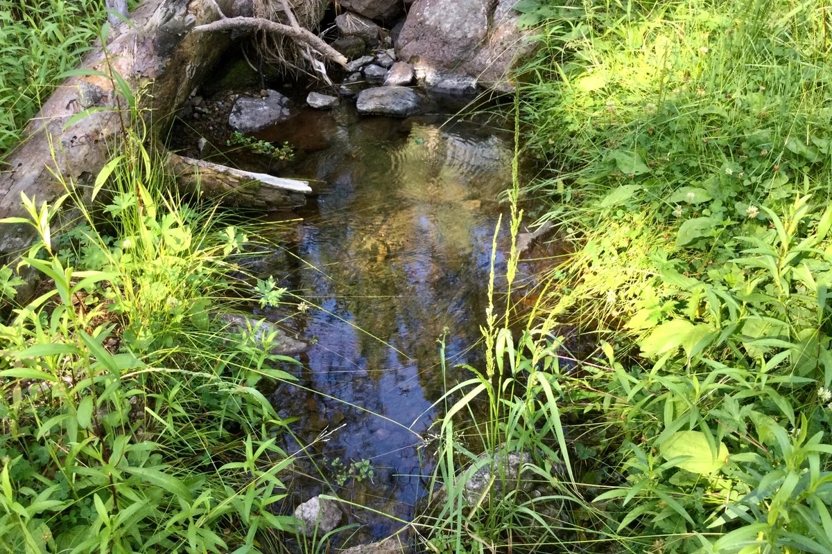
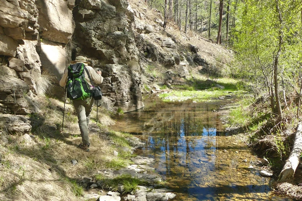
Less than 20 miles from town, Meadow Creek feels like a world away. Its namesake, a perennial creek, waters a lush riparian area. Between a dense pondo forest and elevation of +7000 feet, this canyon is a cool green refuge, even on the warmest days of the year. In the summer the wildflowers are incredible! Lupine, Arizona valerian, mountain goldenbean, penstemon, Indian paintbrush, western blue flags, and huge swaths of basket flowers!
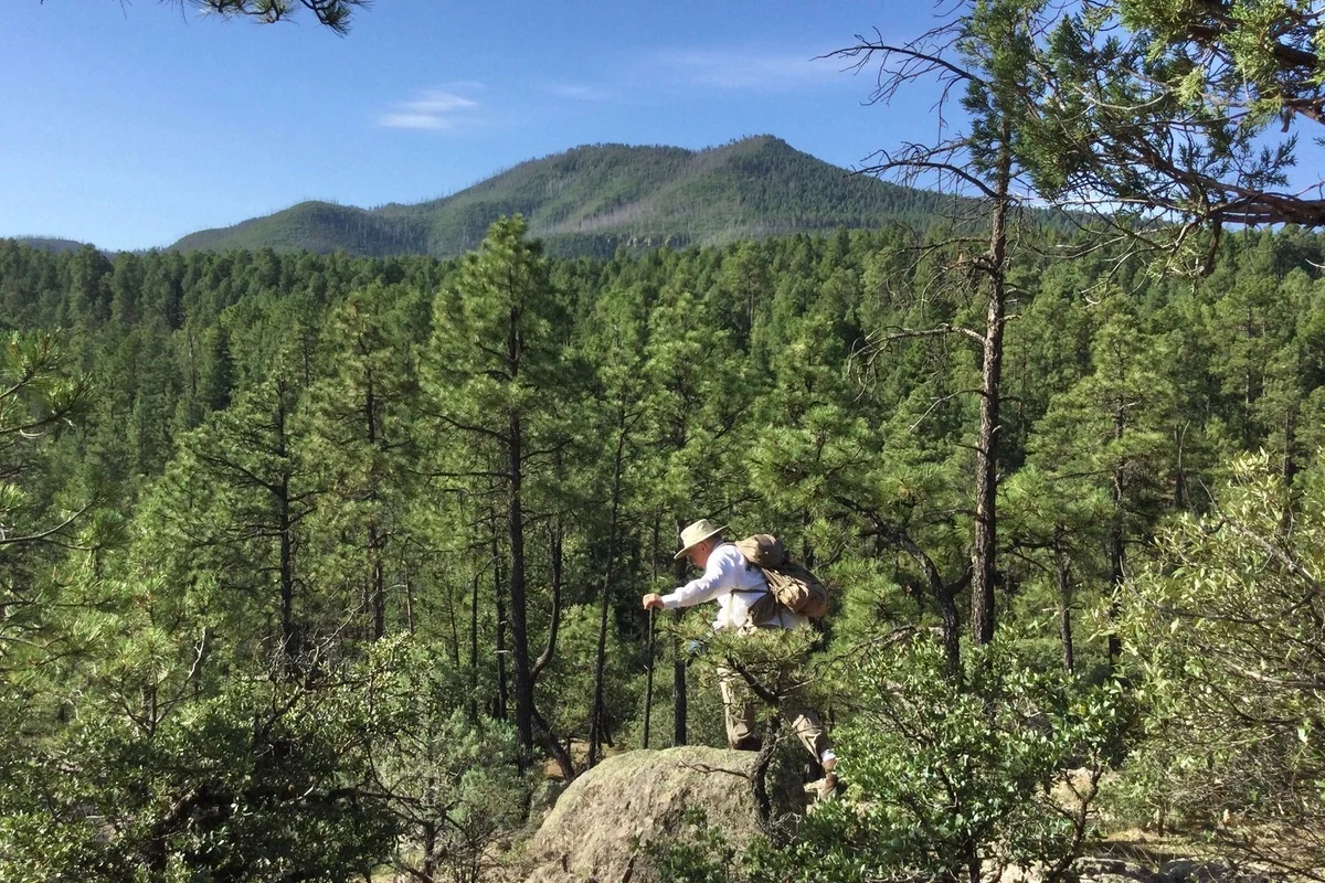
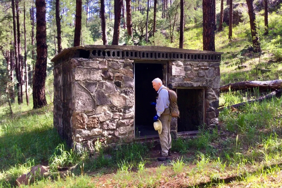
While there are multiple routes and access points, we prefer to do an out-and-back on the Sapillo Trail. Starting about a half mile from the NM 15 turnoff, the Sapillo Trail starts out on a stony ridge with views of Signal Peak, and drops into an unnamed side canyon. As the trail descends, you may encounter water in the creek, along with a profusion of summer wildflowers. At 1.26 miles, the trail reaches an old forest road that runs along Meadow Creek. You can follow the road upstream, wandering past the remains of an old Boy Scout camp known named “Camp Tuff Moses” after Horace G. “Tuff” Moses, General Foreman of the Chino Mine in the 1930s – 1940s. The road dead ends in about a mile, but you can continue bushwhacking upstream into the prettiest part of the canyon for another half mile or so.
Note that just past the intersection with Meadow Creek Road, the Sapillo Trail heads uphill to the right. In .4 miles, it reaches old forest road 89. Take a right and you’ll travel through a heavily burned area and reach the CDT Classic in 1.6 miles. Or you can continue left on the Sapillo Trail all the way to Sapillo Campground east of Lake Roberts.
Distance: 2.39 miles (one way)
Asccent: 539′
Trailhead Elevation: 7,485′
Directions: From Silver City, take NM 15 Pinos Altos Road north 15 miles to Meadow Creek Road. Turn right on Meadow Creek Road, go one half mile, and park on the right. The trail leads downhill to the left.
Area Map
