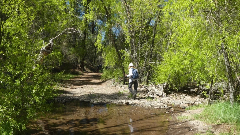
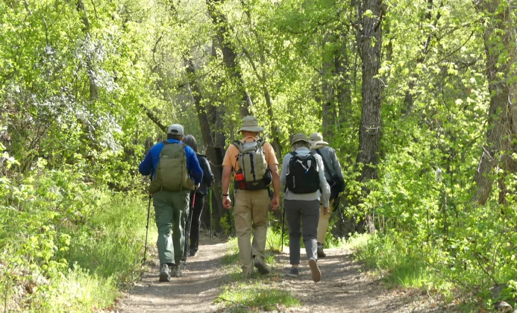
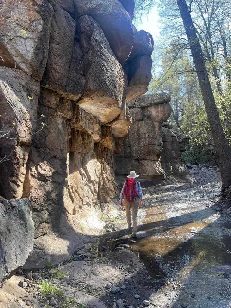
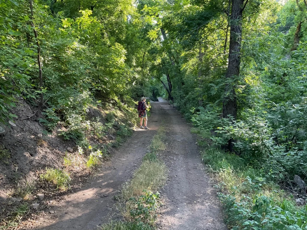
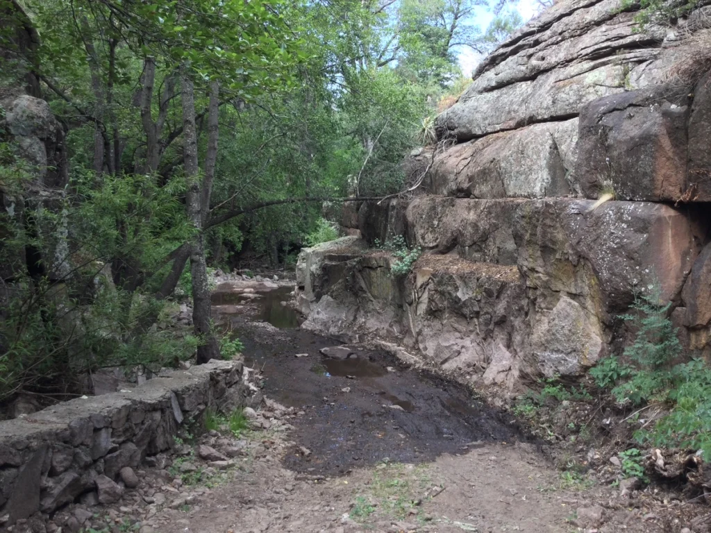
Little Cherry Creek is a four-season gem that follows and old forest road beside a perennial creek in a lushly forested canyon. If the rains have been generous, the summer wildflowers are amazing! And in the winter, there are frozen waterfalls and faerique ice sculptures decorating the creek. Just 11 miles from Silver City, the trail is one of the most popular hikes in the area. And while it is rarely crowded, but unlike most trails in the Gila, you may not have it to yourself.
Distance: 2.95 miles
Ascent: 834;
Trailhead Elevation: 6597′
Directions: From Silver City, go east 1.8 miles on Route 180, then turn left on Pinos Altos Road north for 8.8 miles. The road can be a bit tricky to locate. Go past Little Cherry Lane, and past a private drive on the right. Turn right onto Little Cherry Creek Road where the road bends sharply to the left, right before the Little Cherry Creek Ranch sign. There’s no parking lot at the trailhead, but there are individual parking spots scattered along the road for the first mile.
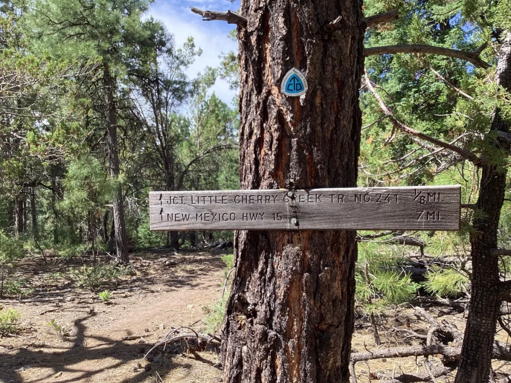
Roughly 1.7 miles up the canyon, you reach a small parking lot for Little Cherry Creek Trail #241. This trail continues to climb for 2.7 miles to a saddle where several trails converge.
Sawmill Wagon Trail #243 heads downhill all the way to the Fort Bayard Trail System. The Continental Divide Trail Classic runs north to Black Peak and beyond, or south to the gleaming white ridge of Twin Sisters.
The gpx track below follows the canyon for about 2.9 miles to a high point where we often stop for a snack before turning back. However, if you have a sturdy vehicle, you can follow the road all the way to the Little Cherry Creek Trail parking lot and continue on foot to the saddle, where there is a fine spot for lunch.
Area Map
