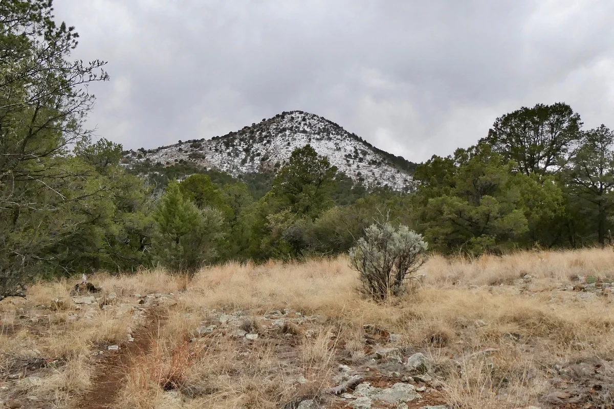
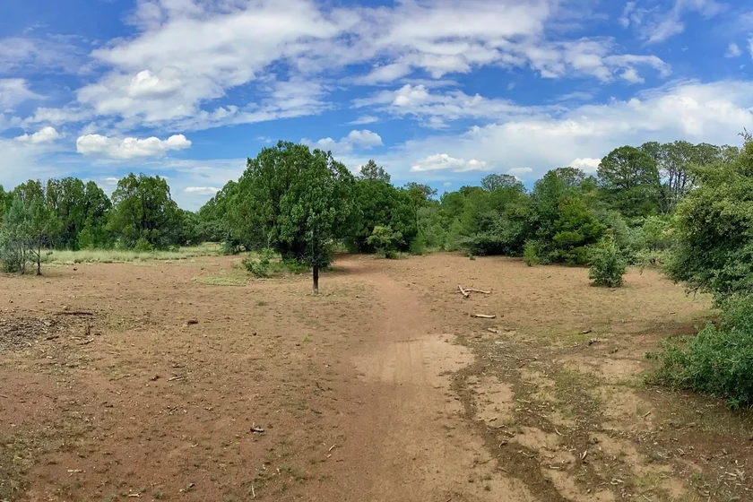
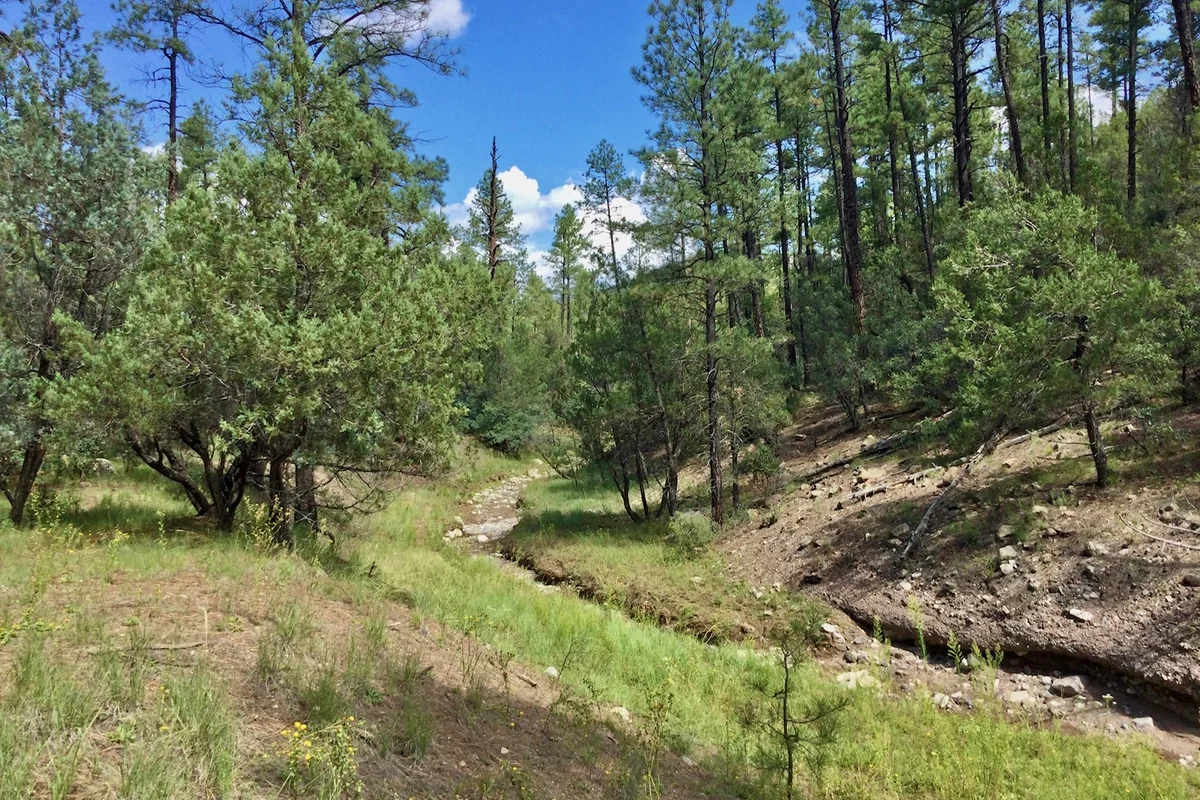
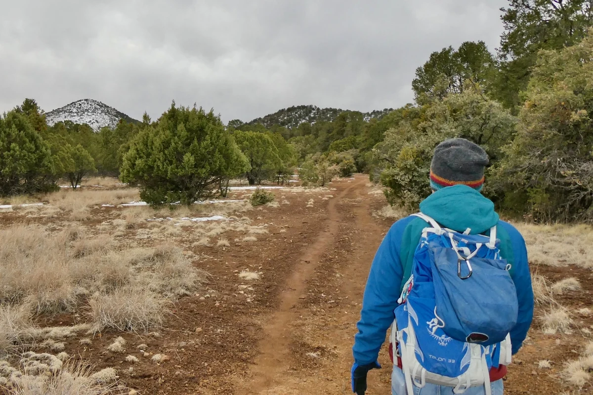
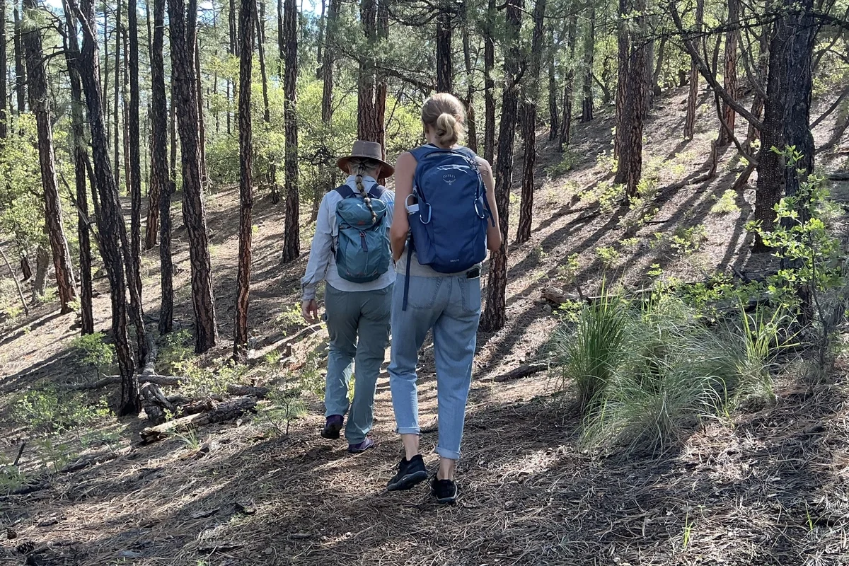
The Little Walnut Trail System is one of the best reasons to live in Silver City, New Mexico. Located just five miles north of town, the area offers countless opportunities for loops or out-and-back hikes in a well-shaded mixed pinon-juniper and ponderosa pine forest at over 6500′ in elevation. The CDT also passes through the area, so this is the jumping-off point for longer treks in the Gila Wilderness.
The trails in this area are well-documented on sites like AllTrails, The Hiking Project, Trail Forks and more.
Angel Loop is one of our favorites. A few more that don’t usually make the list are described below.
Directions: There are two trailheads, with ample parking. The first is located five miles north of Silver City on Little Walnut Road, adjacent to the Little Walnut Picnic Area. To reach the second trailhead, continue north on Little Walnut for another 1.6 miles, staying left at the fork. At the second fork, stay left on North Fork Walnut Creek Road for another half mile and look for the parking lot on your left.
Notes: One trail you will likely want to avoid is the eastern third of the Wagon Wheel Loop. This used to be one of my favorites, but when the power company replaced a sagging line here, they cut away a lot of the forest. This trail is also quite steep and badly torn up by mountain bikers, so between full sun and the odds of turning an ankle, it has lost some of its appeal.
Reminder: Dogs must be leashed at the trailhead. They can be off-leash on the trail, but should be leashed when approaching other hikers. For more information: Bringing Dogs to the Gila National Forest
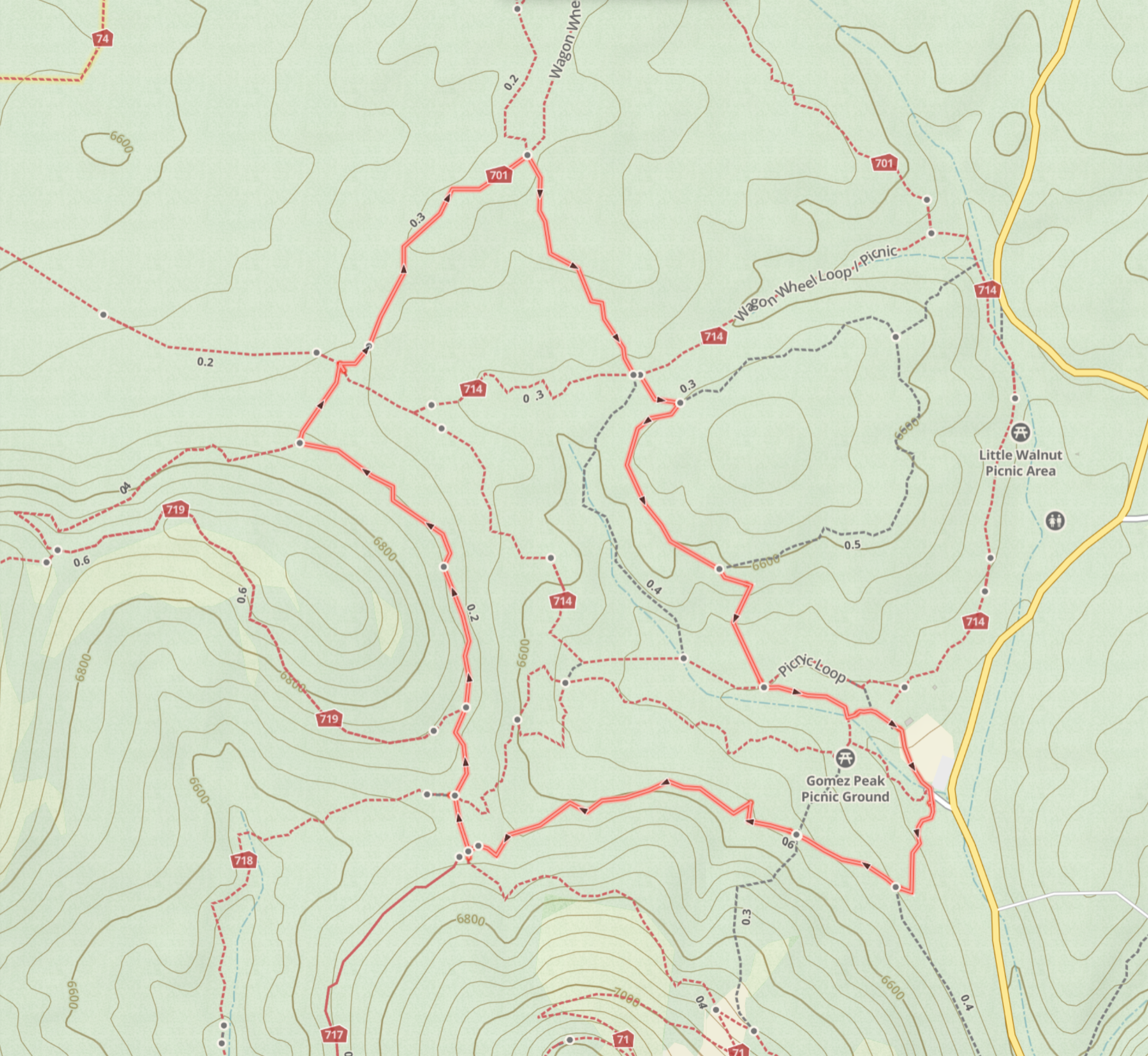
The Shady Lady Loop
My girlfriends and I came up with this one on a steamy mid-monsoon morning when we wanted to hike, but needed to stay out of full sun. This 2.7-mile loop combines pieces of the Pinon Loop Trail, the Mountain Loop Trail, the Wagon Wheel Loop, the Ponderosa Loop and the Picnic Loop, but stays in deep forest the whole time, for a comfortable hike even on the warmest day of the year.
The loop starts at the Little Walnut Picnic Area parking lot. Cross the road and go through the gate southwest of the parking lot, near the entrance to the picnic area. Start up the Pinon Loop trail and stay right up the hill when the trail splits. In .7 miles, you’ll arrive at an area I call “the bridge” — a saddle between Gomez Peak and an unnamed summit to the north. Turn right here and follow the Mountain Loop trail for .6 miles, Turn right here and in 600′ cross the Divide Access Trail and pick up the Wagon Wheel Loop Trail. Stay on Wagon Wheel for .4 miles and look for an unsigned trail on the right. This nicely shaded trail connects with the Ponderosa Loop Trail in .4 miles. Turn right and follow the Ponderosa Loop .5 miles, and then Picnic Loop for the short hop back to the parking lot.
CDT Divide Access Loop
My favorite two trails in the Little Walnut System are the CDT and the Divide Access Trails. Both pass through dreamy dense pondo forests with plenty of shade and very little underbrush. If you don’t mind a little light off-trail, you can combine parts the CDT, Divide Access and Wagon Wheel Trails for a very nice loop with no road walking.
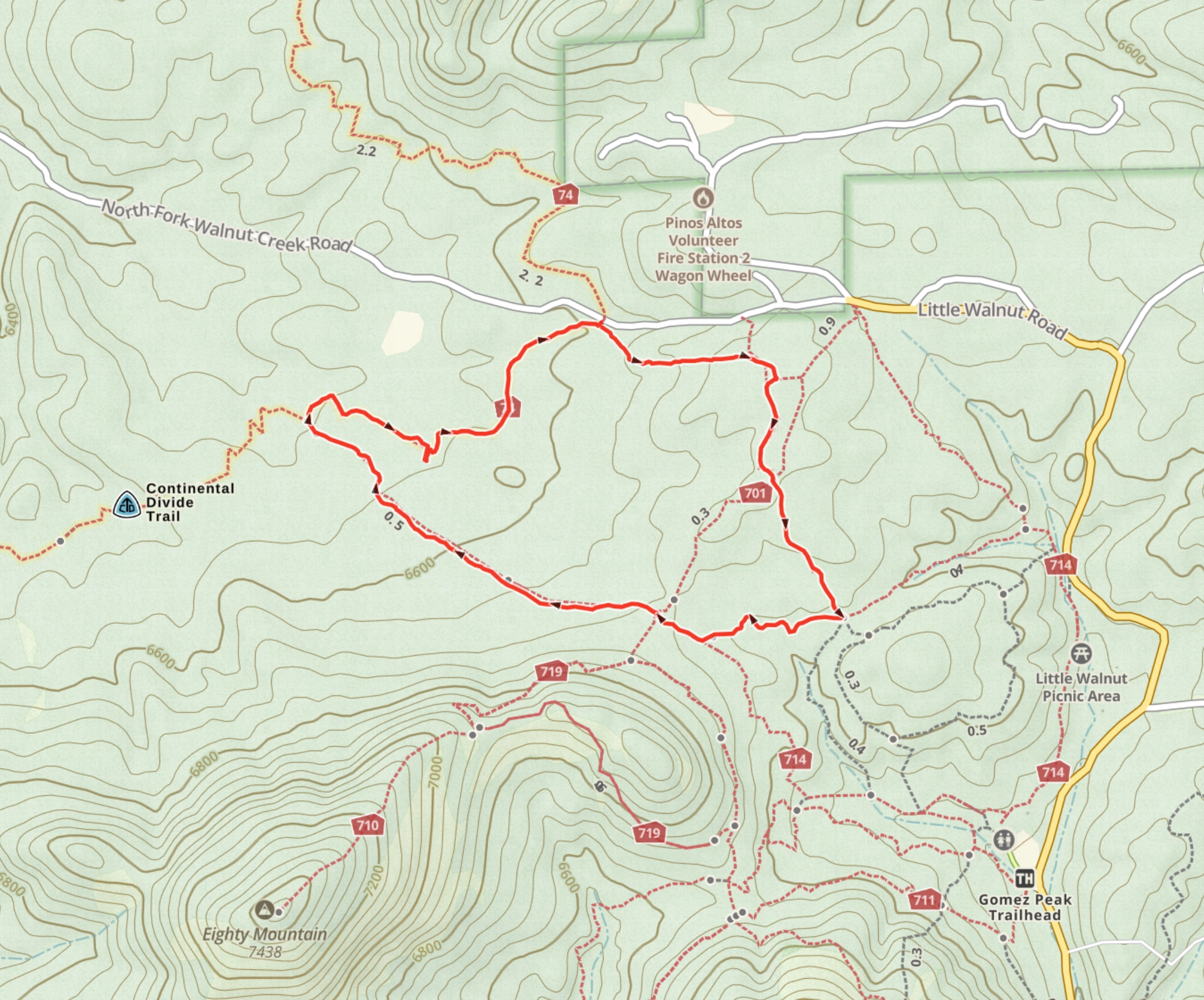
From the trailhead, look up and to your left for a faint track. Follow that track uphill and then under the power line. In about 1/3 miles, go through the gate and turn right on the Wagon Wheel Loop Trail. Stay to the right on the Wagon Wheel Loop Trail for .6 miles, then turn right on the Divide Access Trail. In .8 miles, turn right on the CDT. In about 1/3 mile, you can follow a faint trail a short distance to the right to view the Mystery Luxury Sedan. There must be a story about how this vehicle ended up deep in the forest! Return to the CDT and reach the parking lot in about .5 miles.
Distance: 2.81 miles
Ascent: 1969′
Trailhead Elevation: 6654′
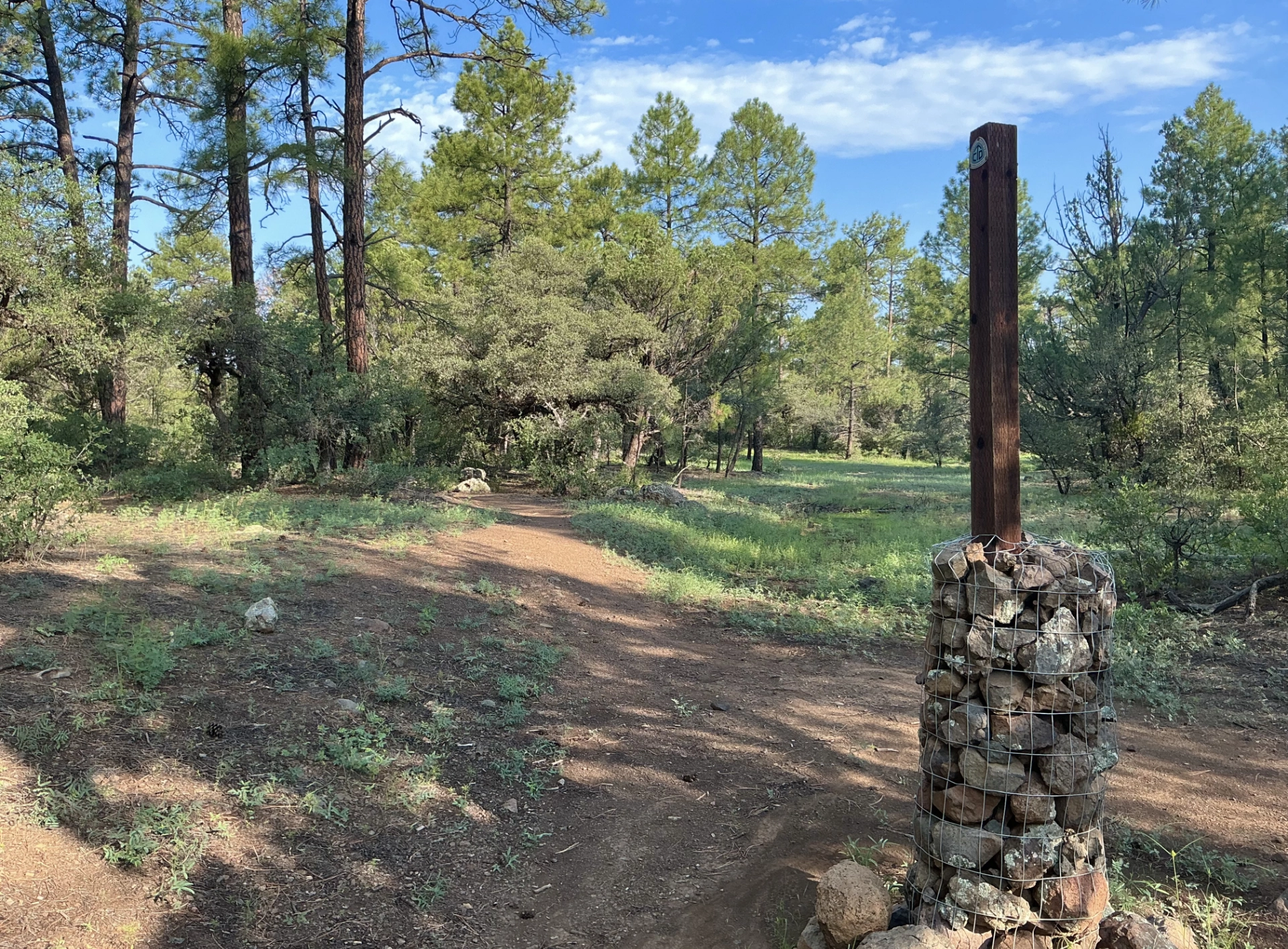
Area Map