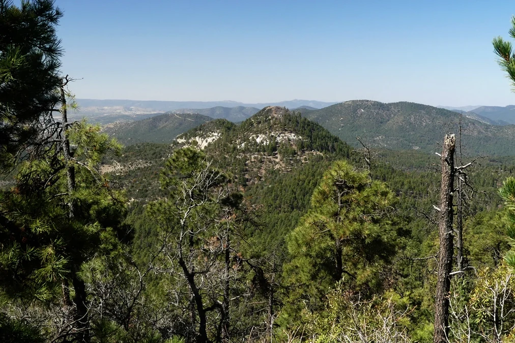
Spend more than a day or two in Silver City and you are bound to notice a pair bullet-bra peaks separated by a bony ridge of alabaster white visible from almost anywhere in the area. Like many Silver Citizens, I became obsessed with them, and had to see if it was possible to make my way to that ridge.
The answer is an enthusiastic “yes”, but it’s not easy! There are four possible approaches to the Twin Sisters:
- Little Cherry Creek – 5 miles RT/990′ ascent OR 11 miles RT, 2000′ ascent
- Black Peak – 7.6 miles RT, 1300′ ascent
- Arrastra – 9 miles RT, 1600′ ascent
- Sawmill Wagon Road – 16 miles RT, 2200′ ascent
We’ve hiked it twice from the Arrastra, and once from Black Peak. At this time, I can’t recommend the Arrastra route because the trail has been severely damaged by ATVs who drive up Cross Mountain Road and onto the Continental Divide Trail. That leaves Little Cherry Creek and Black Peak as the best bets for a hike of moderate difficulty.
TWIN SISTERS VIA BLACK PEAK
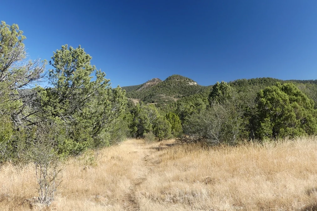
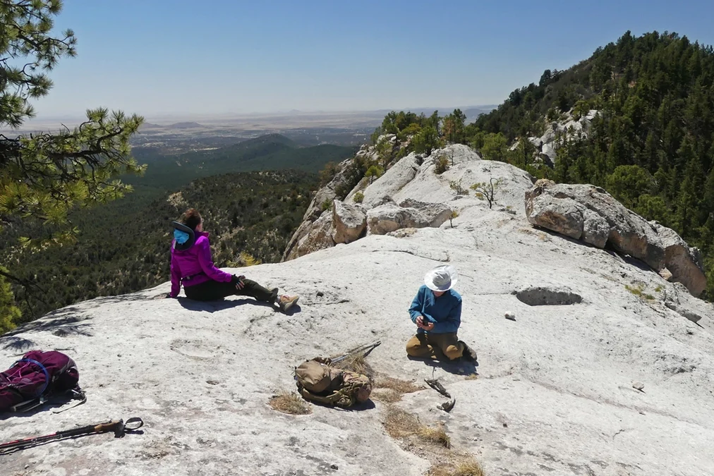
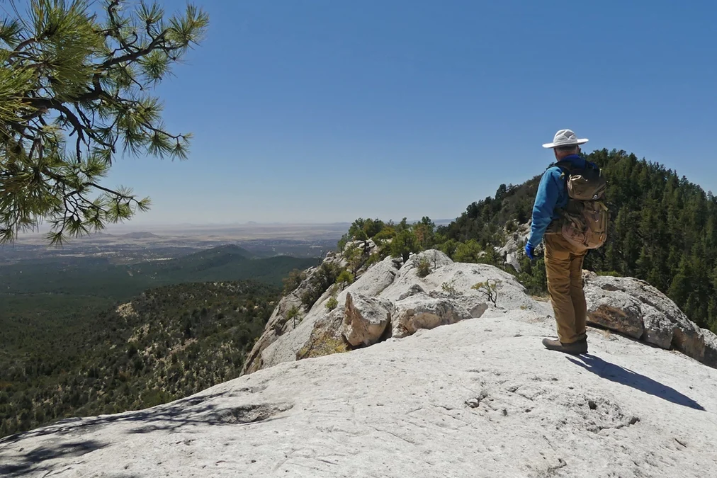
With a reasonably sturdy passenger vehicle and good weather, you can drive up Signal Peak Road to the Black Peak (CDT) trailhead. This area was badly burned by the Trout Fire of 2025, but the trail has been cleared and is in good shape. Follow the CDT downhill for 3.6 miles and look the turnoff for Twin Sisters on your left. The final .2 miles is an extremely steep scramble up to the ridge, but the view is absolutely worth the effort! Be very careful on the descent. This is a good place to deploy the “butt break” (sit down and slide). The down side of this approach is that the big climb is the second half of the hike, so pace yourself!
Directions: From Silver City, go east 1.8 miles on Route 180, then turn left on Pinos Altos Road north for 15 miles. Turn right on Signal Peak Road and follow it for 6.2 miles and look for a small parking lot on your left. The trail leads uphill to your left.
TWIN SISTERS via LITTLE CHERRY CREEK
If you have a high-clearance 4WD vehicle, you can drive up Little Cherry Creek and park at the trailhead for Little Cherry Creek Trail #241. From there, it’s a steep but very manageable (2,5 miles/900′) trek to the Twin Sisters Ridge. Otherwise, it’s 5.5 miles/2000′ from the bottom of Cherry Creek to the ridge. From the start of Little Cherry Creek Trail #241, hike 2.4 miles to a saddle below Black Peak where several trails come together. Turn right on the CDT and head south toward the Twin Sisters. Follow the CDT downhill for 3.6 miles and look the turnoff for Twin Sisters on your left. See the note above about the very steep final .2 miles.
Directions: From Silver City, go east 1.8 miles on Route 180, then turn left on Pinos Altos Road north for 8.8 miles. The road can be a bit tricky to locate. Go past Little Cherry Lane, and past a private drive on the right. Turn right onto Little Cherry Creek Road where the road bends sharply to the left, right before the Little Cherry Creek Ranch sign. Grab one of the parking spots in the first mile, or continue up the road 1.8 miles and park on the left.