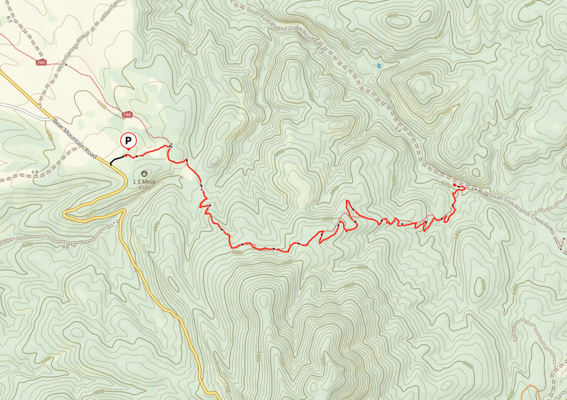
Unfortunately, the Continental Divide Trail (CDT) has thus far been unable to secure a right-of-way across private lands between the Burro Mountains and LS Mesa, but a section of the CDT north of Bear Mountain remains a nice day adventure.
The access is 10 miles north of Silver City off Bear Mountain Road. The trail crosses a grassy meadow and then climbs through a mixed forest on the nose of the ridge north of Bear Mountain. It tops out at around 6900′, where there wonderful views to the north. The trail then drops into the Walnut Creek drainage, and enters a really lovely Ponderosa pine forest.
Will this trail ever connect with the CDT, eliminating that long road walk into town? Who knows? But meanwhile, this is an outstanding local hike, with varied terrain, relatively high elevation and good forest cover. It feels like a hike deep in the Gila Wilderness.
Distance: 3.54 miles (one way)
Ascent: 472′
Trailhead Elevation: 6502′
Directions: From downtown Silver City, travel west on route 180 to Alabama Street. In 3.2 miles, stay left on Bear Mountain Road. At the national forest boundary, the road turns to gravel. It is suitable for most standard vehicles, but can be quite slippery is wet weather! In 10.5 miles, turn right, go through the cattle guard and park. Follow the two-rut road about .3 miles east until you intersect the CDT.
Photo Gallery


Area Map