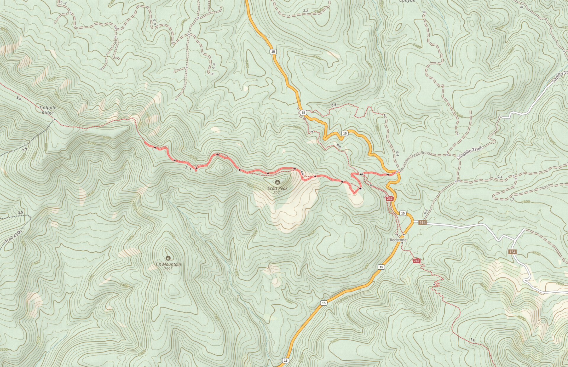
Tadpole Ridge is invariably described as a “hard” hike, with a length of over 14 miles and more than 2200′ feet of elevation gain. However, an easier but very worthwhile hike is possible. Instead of hiking all the way across the ridge, one can turn around at a lovely saddle at about 8200′, just before the trail begins the very steep climb to the highest point on the ridge. You can also reduce both the distance and the amount of climbing by starting at the Meadow Creek turnoff instead of the Signal Peak parking lot. The result is a moderate hike of roughly five miles in length and about 700′ of elevation gain. It’s a great option for warm weather, since the entire hike is over 7500′ in elevation and less than 17 miles from Silver City.
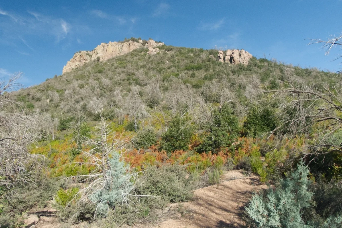
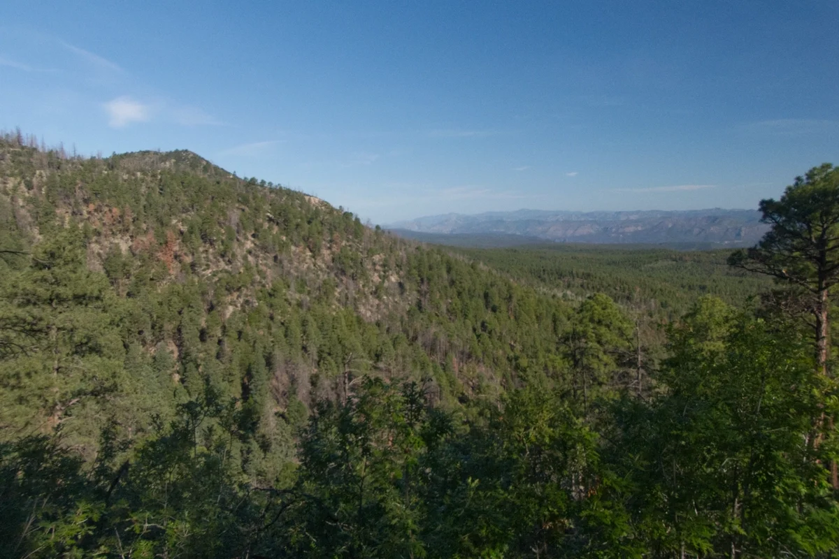
Tadpole Ridge was badly burned by the Tadpole Fire of 2020 and the Trout Fire of 2025. However, the trail receives regular maintenance, the forest is recovering nicely, and there are stunning views for its entire length. The trail is, however, unrelentingly steep. No switchbacks. So take your time, and stop frequently to rest and enjoy the views!
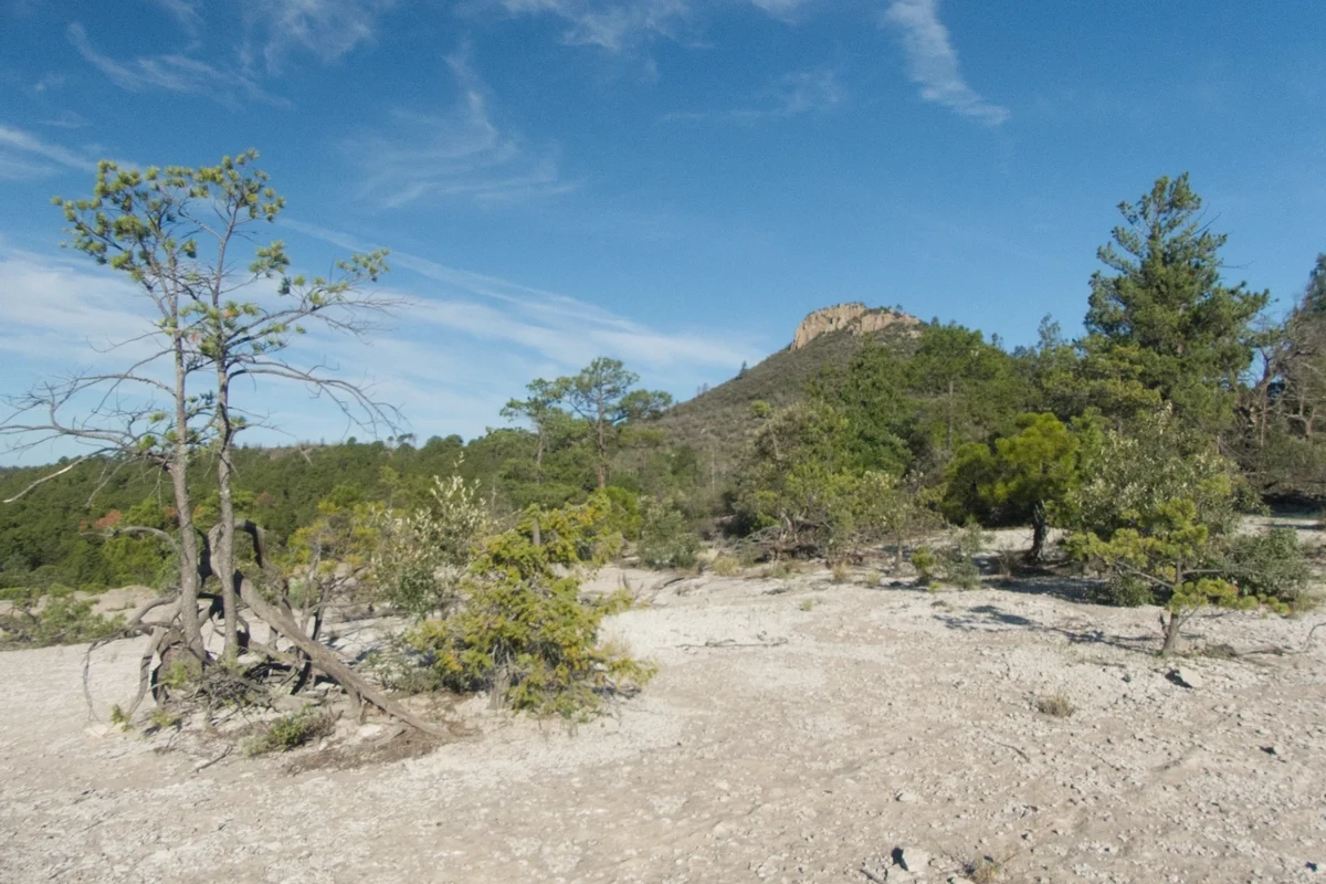
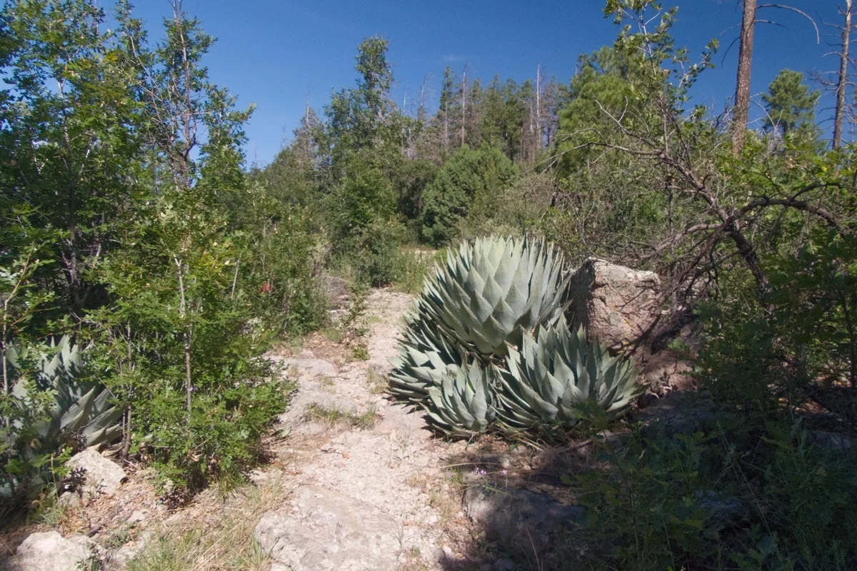
The trail starts out on an old forest road in full sun. About a half mile in, there’s an open rocky area just off the trail on the south side that’s worth a quick detour. The trail climbs through a heavily burned area now covered in ferns. The trail heads toward Scott Peak, but you’ll skirt around to the right of it and continue through a lush pondo forest.
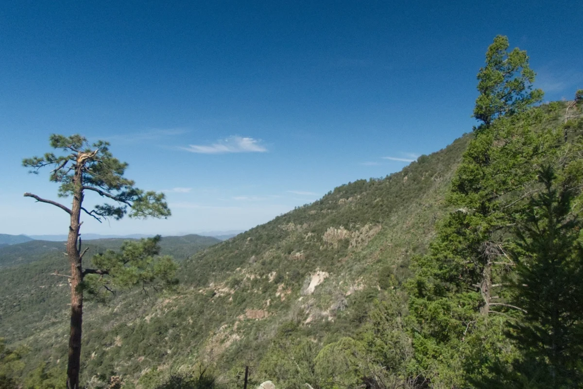
After the initial big climb, the trail meanders gently up and down along the top of the ridge, with jaw-dropping views in all directions. The trail just gets prettier and prettier, the farther out you hike. About 2.5 miles in, there’s a lovely well-forested saddle at 8300′, right before the trail ascends another 400′ to the top of the ridge. This makes a great place to stop, have lunch, and decide whether you want to turn back or continue all the way to the summit.
Distance: 2.36 miles (one way)
Ascent: 729′
Trailhead Elevation: 7568′
Directions: From Silver City, take NM 15 Pinos Altos Road north 15 miles to Meadow Creek Road. Turn right on Meadow Creek Road and park off the road. Cross NM 15 and look for an old forest road leading up the hill.
Area Map